The bicycle has now seen more than 10,000kms and some of my other gear is also quite dated. After about 2,000kms on this trip, a few issues started to crop up.

The bicycle has now seen more than 10,000kms and some of my other gear is also quite dated. After about 2,000kms on this trip, a few issues started to crop up.
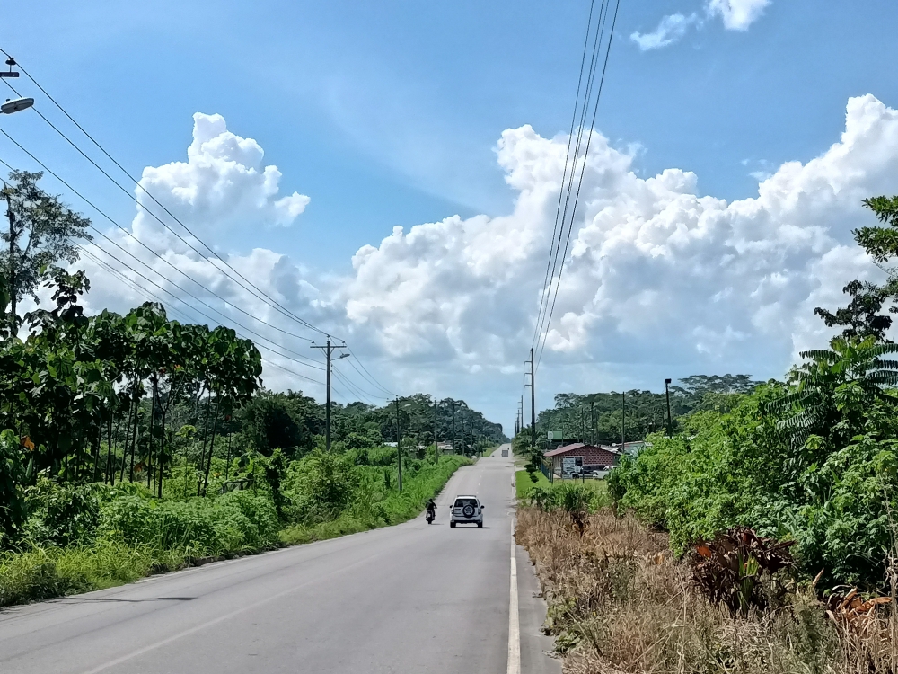
After passing through the customs and immigration on Ecuador side in minutes, I followed the main road which snaked East to a sleepy town called General Farfan, where I spotted an exchange office to get rid of the Colombian pesos left in my pocket. I got $30 back and spent $1.50 on a gallon of water immediately.

It appeared already too busy on the main highway towards Ecuador and I wasn’t keen on going through Quito, so from Pasto, my direction changed towards the Amazon basin. Once I take this route, to get to Ecuador, I will have to go through the border at San Miguel. This crossing wasn’t considered safe in the past, but it has changed for the better in the last decade, apparently. And since much of the commercial traffic preferred the Ipiales route, this border point would be much quicker.
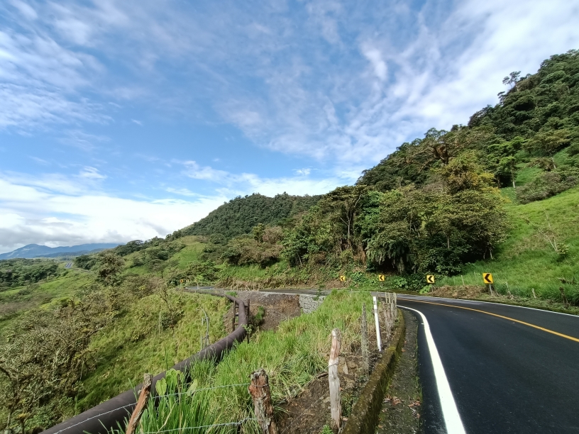
There was one problem. There is only one road in this direction and it’s called “Trampolin de la muerte”, in other words the Colombian version of the “Death Road”. It’s a 65km long unpaved rocky road connecting Pasto to Mocoa. It was built to transport soldiers in 1930 during the war between Colombia and Peru. Landslides are common on this road and many people died since the road was built. To be fair, it wasn’t worse than the road I cycled between Sonsón and Aguadas a few weeks ago, but the problem is there is a lot of traffic on this road. The views make up for the trouble though.
My route took me across Europe, starting from Glasgow, Scotland on May 14th, ending in Izmir, Turkey on Aug 16th, 2022. The total distance travelled on bicycle was just over 6,000km. I had no technical problems. There were two flats, once in Serbia and the other in Greece, both due to thorns. Main countries visited were: Scotland (with a bit of England), Netherlands, Belgium, France, Switzerland (with a bit of Germany/Austria/Lichtenstein), Italy, Slovenia, Croatia, Serbia, Bulgaria and Greece.
The weather was rainy and windy at the beginning and gradually warmed up to unbearable temperatures in Italy and beyond.
The total cost of the trip was around €3k, or €30/day, but the daily cost varied wildly depending on the country. Scotland and Switzerland were the most expensive.

For the rest of the trip, I decided to stay inland away from potentially too hot and crowded coast. I only had a general idea of the direction to travel and usually did not know where I was going to stay that night. The inland weather was still hot and there wasn’t any rain for rest of the way. The route Komoot plotted for me took me through weird roads sometimes but generally worked OK.

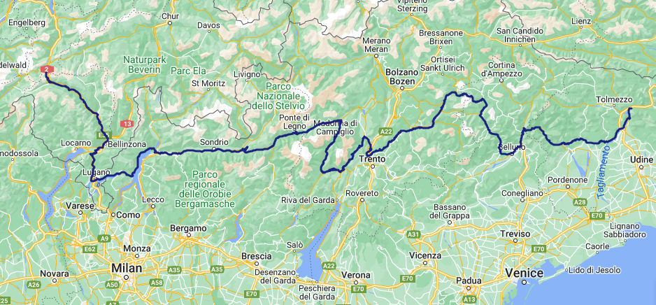
Continuing on from the end of the terminus of the Rhine River route, I decided to move into Italy’s northern part and slowly made my way East, trying to avoid low elevation. It took about 10 days to travel the 800kms to the Slovenian border, from Jul 16 to 26, 2022.
From Langres, I decided to turn East and connect to the Rhine cycling route around Switzerland and then enter Italy from North. At first, I did not see any official cycling route towards Switzerland and picked the most direct route, following some N* (the busiest) and D* (reasonably quiet) roads. A few cycling route signs appeared when I reached the town named Combeaufontaine. Turns out there is a path along a canal and it connects to EV6. I reached Vesoul in late afternoon. After an hour on the highway out of the busy town, I took a downhill exit towards a quiet village named Dampvalley and found a gravel road through the nearby forest. According to the signs, there was a quarry and a military airport nearby. I pitched my tent on dry leaves among the trees. A few MTB riders passed later in the evening.
The next day I was back on another canal cycling route, the one connecting the Rhone and Rhine rivers. I passed through a village to get a croissant, etc. and visited a supermarket to replenish my food cache. Around here, most villages had water fountains but they were not potable, so I had to buy water too. The canal route was pretty flat and even downhill at times so I made good distance. The closer I got to the German border, the more towns with German names appeared. Near Mulhouse, I found a patch of forested area to spend the night.
I picked up the Rhine River route at Basel, Switzerland. It sits at the corner of three countries: France, Switzerland and Germany. One of my cousin’s daughter lived there and they were kind enough to host me a couple of days and showed me around the pretty city. This was going to be my first and the only big city visit of the entire trip, except Glasgow.
After Basel, going upstream, the Rhine river criss-crossed between Switzerland and Germany until Lake Konstanz and then went south between Switzerland and Austria.

Leaving Maastricht behind, I entered Belgium just after Eijsden. The paths are no longer dedicated to cyclists, which is fine with me. Industrial activities increased along the river: gravel extraction, thermal power plants, you name it. Road works picked up too, with many diversions.

The ferry docked at Ijmuiden on time at 9:45am. The passport control went quick, though I was kindly reminded that I had only 90 days to enjoy the E.U. I tried to get my bearings looking at my phone’s map and the plethora of cycling route signs around me. I decided to stay close to the west coast, move south and not venture into Amsterdam. The coast here reminded me of my last few days in Britain, with its dunes and sandy beaches.

After Dunbar, I kept close to the shore and pushed south. It was mostly tailwinds except the last couple of days. This part of the route mainly snaked around beach towns, holiday resorts, dunes and castles.